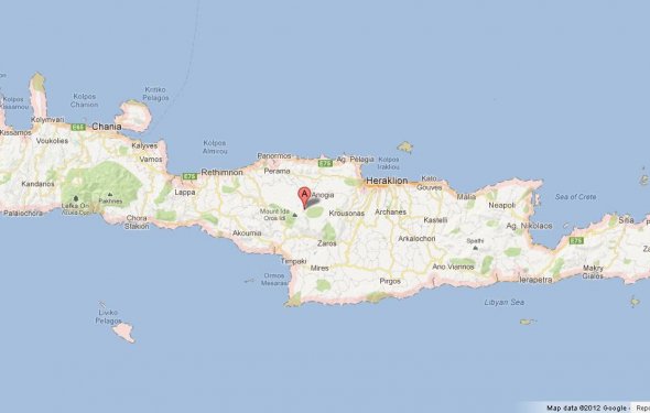
Map of Crete, Greece
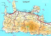
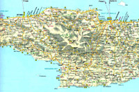 Map of West Crete
Map of Central Crete
Map of Eastern Crete
Map of Crete
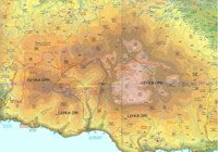
Map of the White Mountains
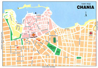
City centre Chania
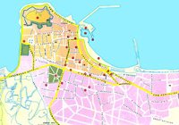
City centre Rethymnon
Venetian map of Crete
If you want to explore Crete and get away from the beaten track, you will want to buy a good map. Below are the ones we recommend
 This map was published in late 2012 and more or less combines the 1:25.000 maps of Sfakia and Pachnes so it will save you buying two maps. There are far more named areas and summits than in the older maps which I find a big plus. One disavantage is that the map is far less solid than the older 1:25.000 maps.
This is the second edition of Atlas of Crete 1:50, 000. The new edition spots a new smaller size, a new durable back and a new distribution of the 115 map plates, which ensures better coverage, a new map plates sequence, which facilitates following and overview, new map composition techniques, which result in a more readable map, despite the much more dense information, a new introduction to the human and natural Cretan landscape, filled with thematic maps and photos, a new chapter dedicated to 20 natural and hiking areas, dotted with detailed maps and emphasizing on the landscape and the biodiversity, and including dozens of pictures of rare animals and plants.
The maps are on 1:50, 000 scale, they are updated to last changes and include a road network of 22.158 Km, 779 Km of paths and a WGS84 grid. All settlements and archaeological and religious monuments are indexed. All texts and indexes are in English and Greek. The price is Euro 23 (in Greece)
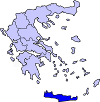 Crete Periphery with a population of 650,000 in year 2005, is one of the 13 peripheries of Greece.
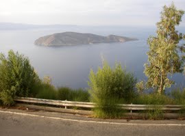 The Gulf of Mirabella, also called Mirabella (or Mirabello) Bay, is a body of water to the north of the eastern Prefecture of Nomos Lasithiou on the island of Crete, which is the largest of the Greek islands and the fifth largest in the Mediterranean Sea. The capital city of the Prefecture is Agios Nikolaos, a tourist town overlooking the bay...